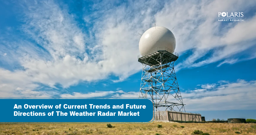
Storms rarely announce themselves. One minute it is calm above, the next, all rain and wind. Stormy clouds can roll in fast and turn a sunny day stormy before you even grab an umbrella. For farmers, pilots, and travelers, those sudden changes can be unsafe and disrupt plans. That's where we use tools that see what our eyes can't. That's where weather radar comes in.
What is Weather Radar?
Whether it's behind a veil of clouds or many miles away, the weather radar helps in visualizing what happens in the atmosphere. Rain, snow, and hail reflect radio waves that are emitted, returning back but with information on the directions in which the weather is moving and how intense it is. In other words, it's the equivalent of a map tracking storms in real time to keep us ahead of whatever the sky has in store.
Why Does Weather Radar Matter?
Weather radar matters because it serves to keep us safe and prepared. It warns us well in advance of impending rain, storms, or snow before it reaches our location. Pilots use it to avoid rough weather, farmers base their planting schedules on it, and families check it each morning before leaving the house. By showing where the weather is moving and how strong it is, radar helps people make smart choices and avoid danger. In other words, it gives us time to act before the storm overtakes us.
How Big is Weather Radar Market?
The global weather radar market size is expected to reach USD 385.43 million by 2032, growing at a CAGR of 4.4%.
Tech Behind Weather Radar
Of course, weather radar seems like magic, but it's powered by smart technology behind the scenes. Here's a simple look at the key technologies:
Doppler Radar
This radar measures the speed at which raindrops or snowflakes are falling. It aids in detecting the rotation in storms, wind speed, and even tornadoes. Think of it as radar that can "feel" motion.
Pulse Radar
A pulse radar sends short bursts of radio waves into the air and listens for the echoes. The time it takes to return indicates how far away the precipitation is.
Dual-Polarization Radar
This sends waves both horizontally and vertically, providing details on the shape and type of precipitation, which help meteorologists distinguish rain from hail or snow.
Satellite Integration
Radar data are often combined with satellite images. Satellites provide a big-picture overview, while radar provides the fine details needed to make forecasts more accurate.
Computer Processing & Mapping
Modern radar units use computers that process vast amounts of data in extremely short periods of time to convert signals into colorful maps that outline the intensity, movement, and potential impact of storms.
What is Driving Demand for Weather Radar?
Here are a few key factors fueling demand in the market:
- Demand for weather radar is increasing due to an upsurge in storms, cyclones, and extreme weather driven by climate change.
- It is applied for flight safety and early warnings in aviation and public safety.
- New technologies, such as dual-polarization and phased array radars, improve accuracy and detection.
- It is widely applied in the sustainable farming market, climate research, and severe weather monitoring.
- Costs and the need for skilled operators to run them can dampen market growth.
How is AI shaping Weather Radar Market?
The artificial intelligence market and new technologies are changing the functionality of weather radars and, by extension, the market's growth. Smart algorithms can now analyze radar data more quickly and precisely, enabling more accurate predictions of storms and rainfall. Therefore, this helps meteorologists warn earlier and make better forecasts. On the market side, AI-powered radar solutions are driving demand for newer, more advanced systems that are faster, smarter, and more reliable for governments, airports, farmers, and everyday users.
The Closure
Whether it's maintaining flight safety, helping farmers plan, or simply giving a family a warning before the storm hits, weather radar is often much more than just a tool; it's our eyes in the sky. Newer systems are getting smarter, faster, and more reliable due to advances in technology and AI; these advances are shaping the future of weather monitoring and keeping us prepared for whatever the sky sends our way.